Getting around Durham


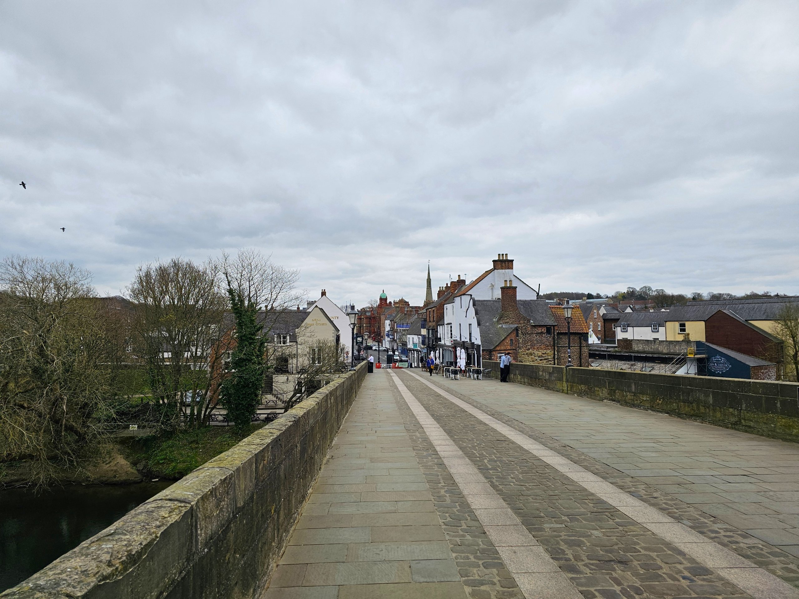
Durham is a very small town that you can easily walk through.
However, it does have its own public bus service, which serves less mobile travellers well.
Find the best hotels in Durham
On foot
Walking is both the best and fastest mode of transport. The distances really aren't great and you'll get to know all the interesting places in Durham.
We have included examples of maps and distances of the most common walking routes:
- Railway Station - Cathedral or Castle
- 1 km
- Route map
- Cathedral or Castle - Crook Hall Gardens
- 1.3 km
- route map
- Crook Hall Gardens - railway station
- 1.4 km
- route map
Public transport - buses
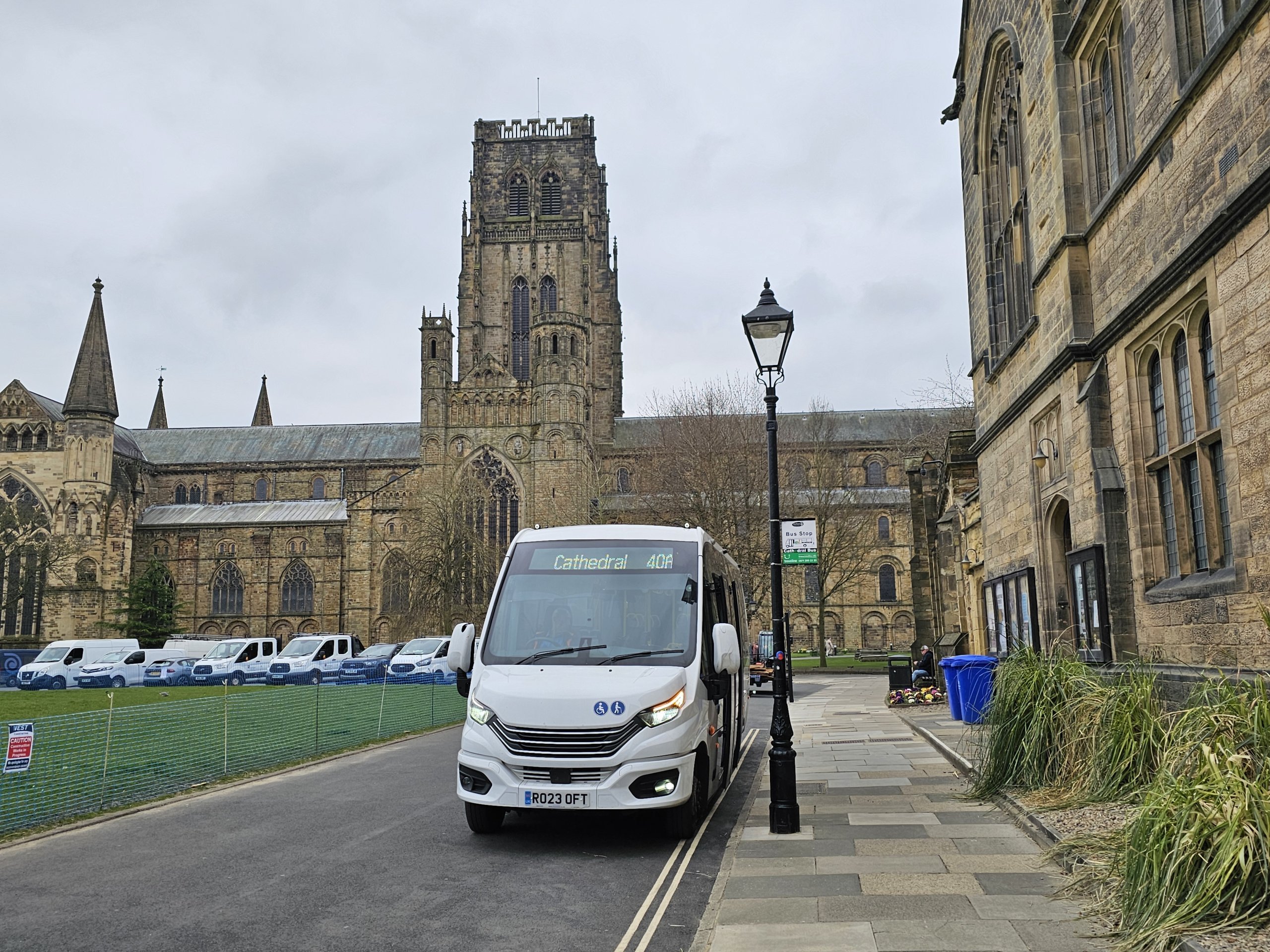
Most of the bus routes are mainly for transport from Durham to the surrounding towns, but you can also use two tourist city routes called Cathedral Bus.
The buses are operated directly by Durham City Council and information can be found at durham.gov.uk/CathedralBus
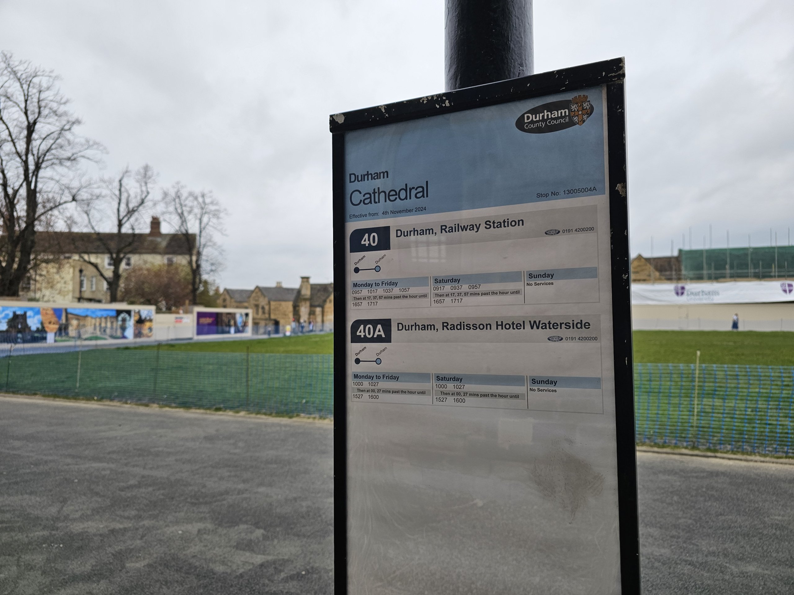
- Line 40: runs from the railway station via the regional bus station, Market Place to the castle and cathedral
- runs once every 20 minutes from approximately 10:00 to 17:15
- runs Monday to Saturday only, no Sunday or bank holidays
- Line 40A: runs from the Radisson Hotel to the Castle and Cathedral
- runs once every 30 minutes from 10:00 to 16:00
- runs only from Monday to Saturday, no service on Sundays and public holidays
A day ticket costs 1 gbp and you buy it from the driver. You can pay by card or cash.
Any questions left?
If you have any questions or comments about the article...
