Dandenong Ranges National Park


The ideal place to take a half-day trip from central Melbourne into the countryside without renting a car is the small Dandenong Mountains.
The Dandenong Ranges is the closest national park to the city centre, and the entirety of it extends right into the Melbourne city limits.
The 10 best hotels in Melbourne
Hiking: leisurely trails through the forest and up 1,000 steps
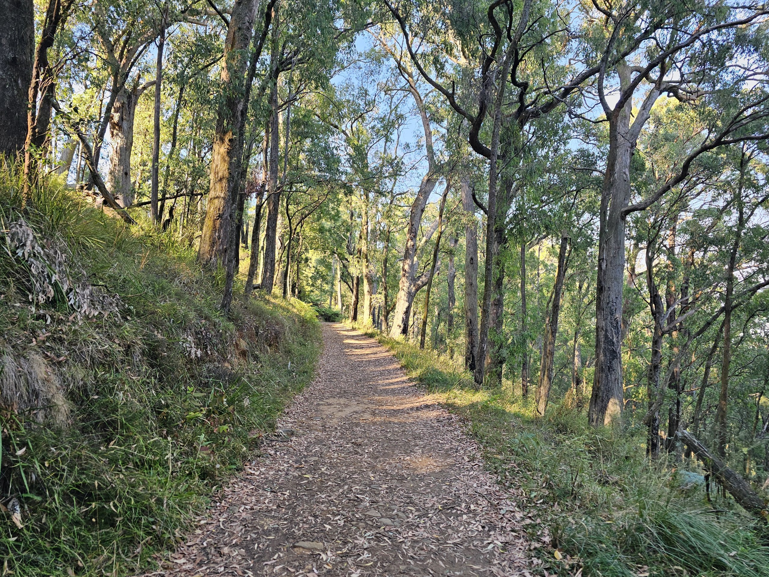
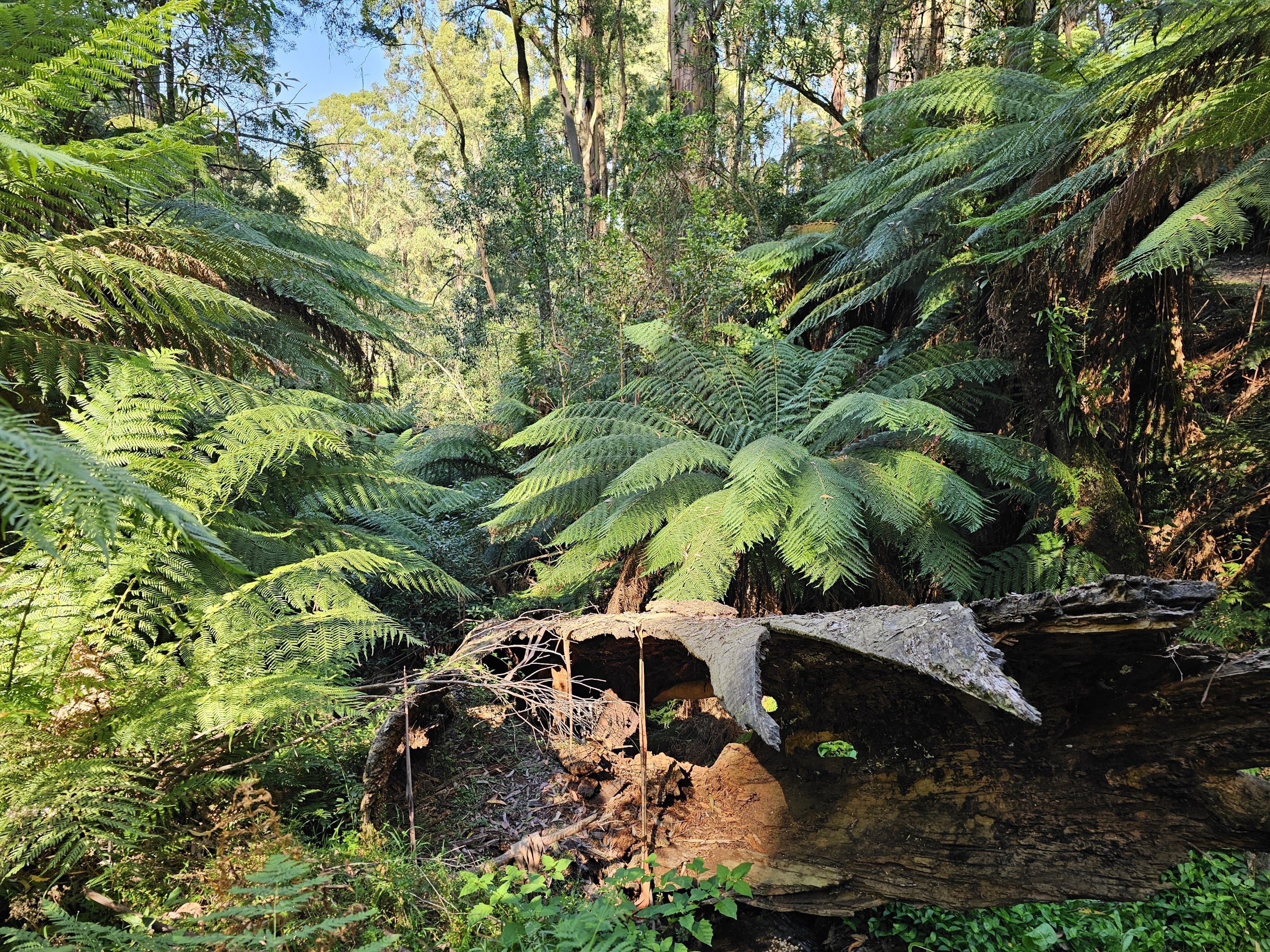
The national park is a great place for hiking along dozens of kilometres of marked trails.
Where to go hiking?
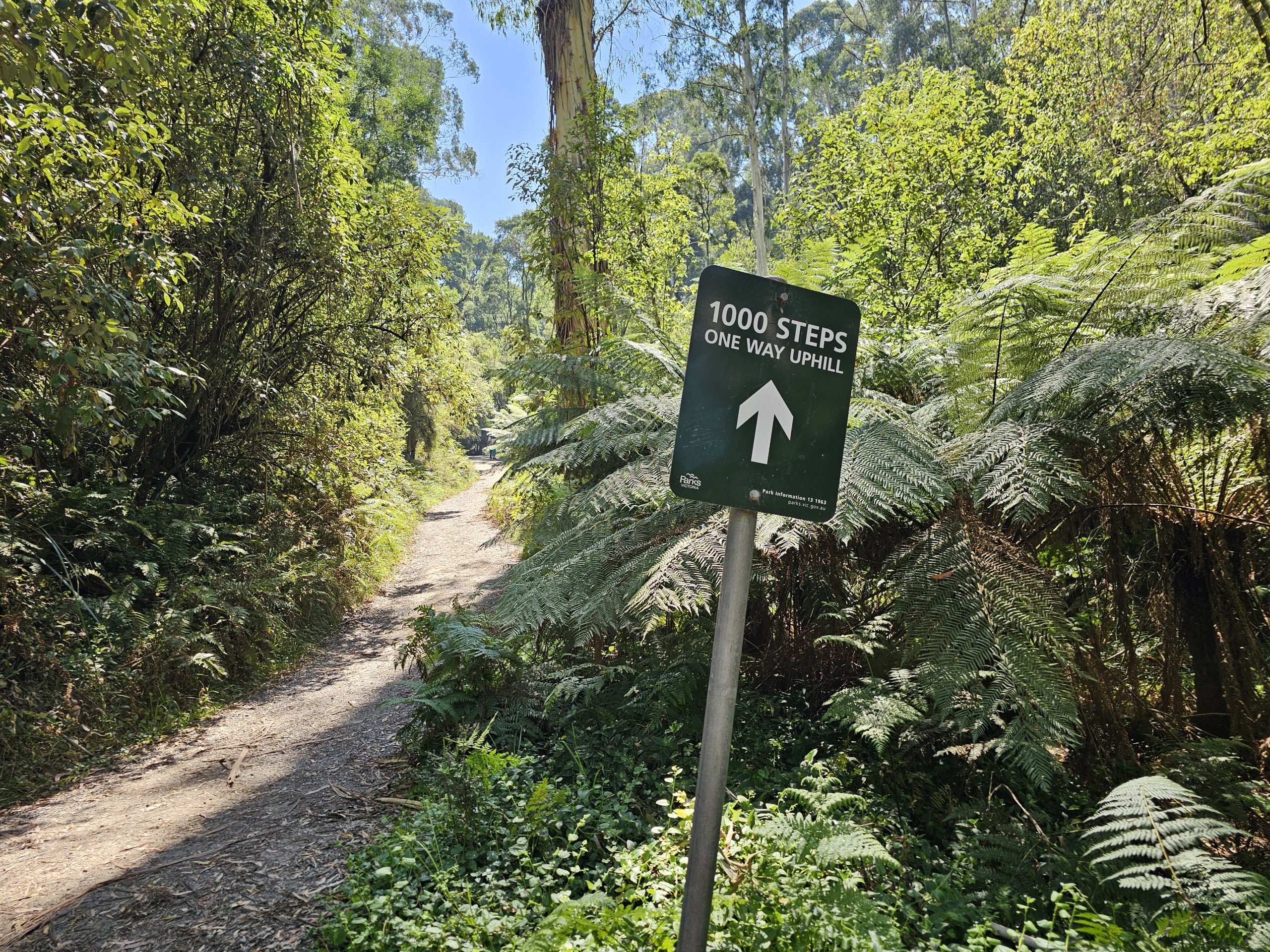
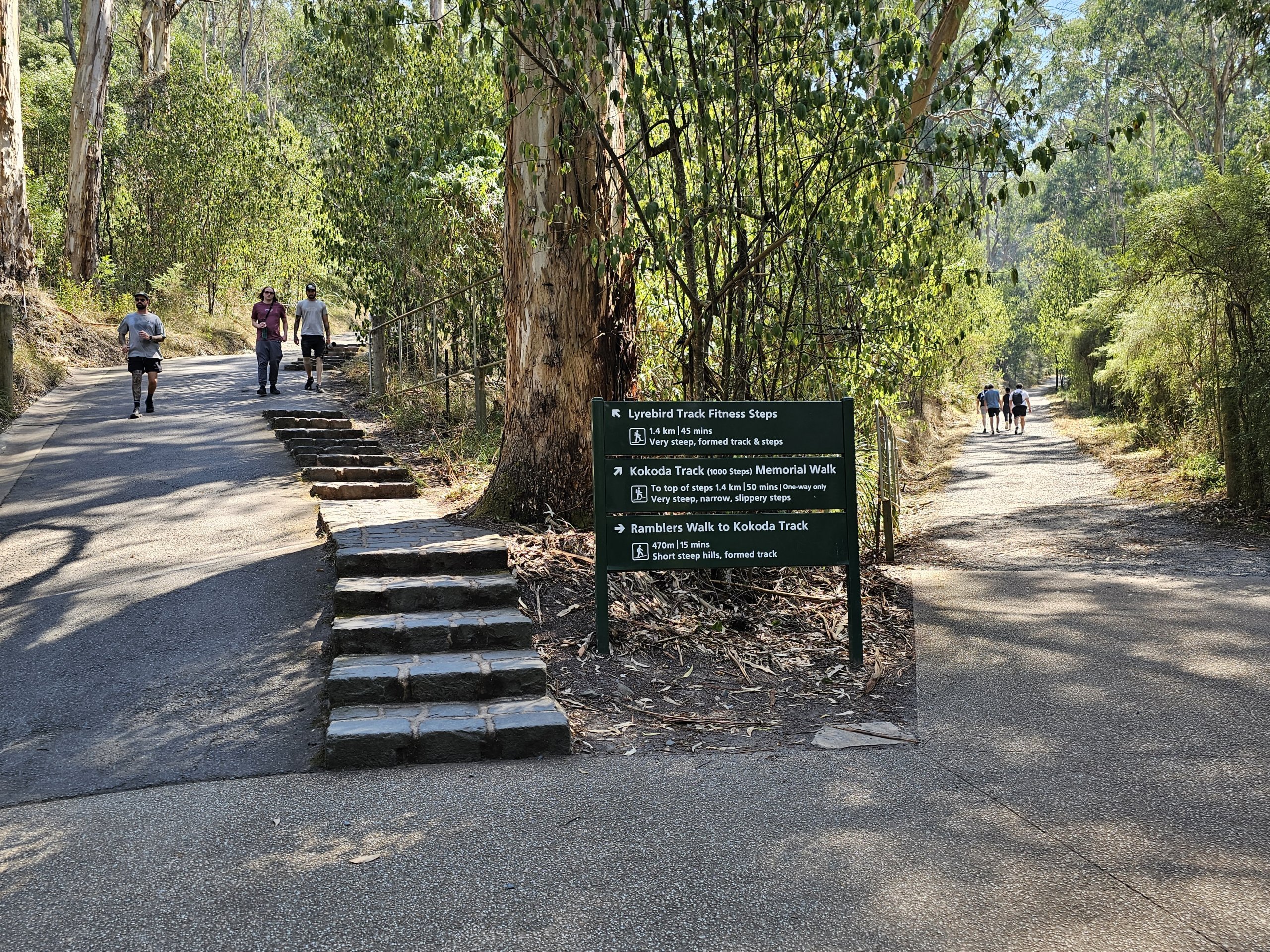
1 000 Steps Walk
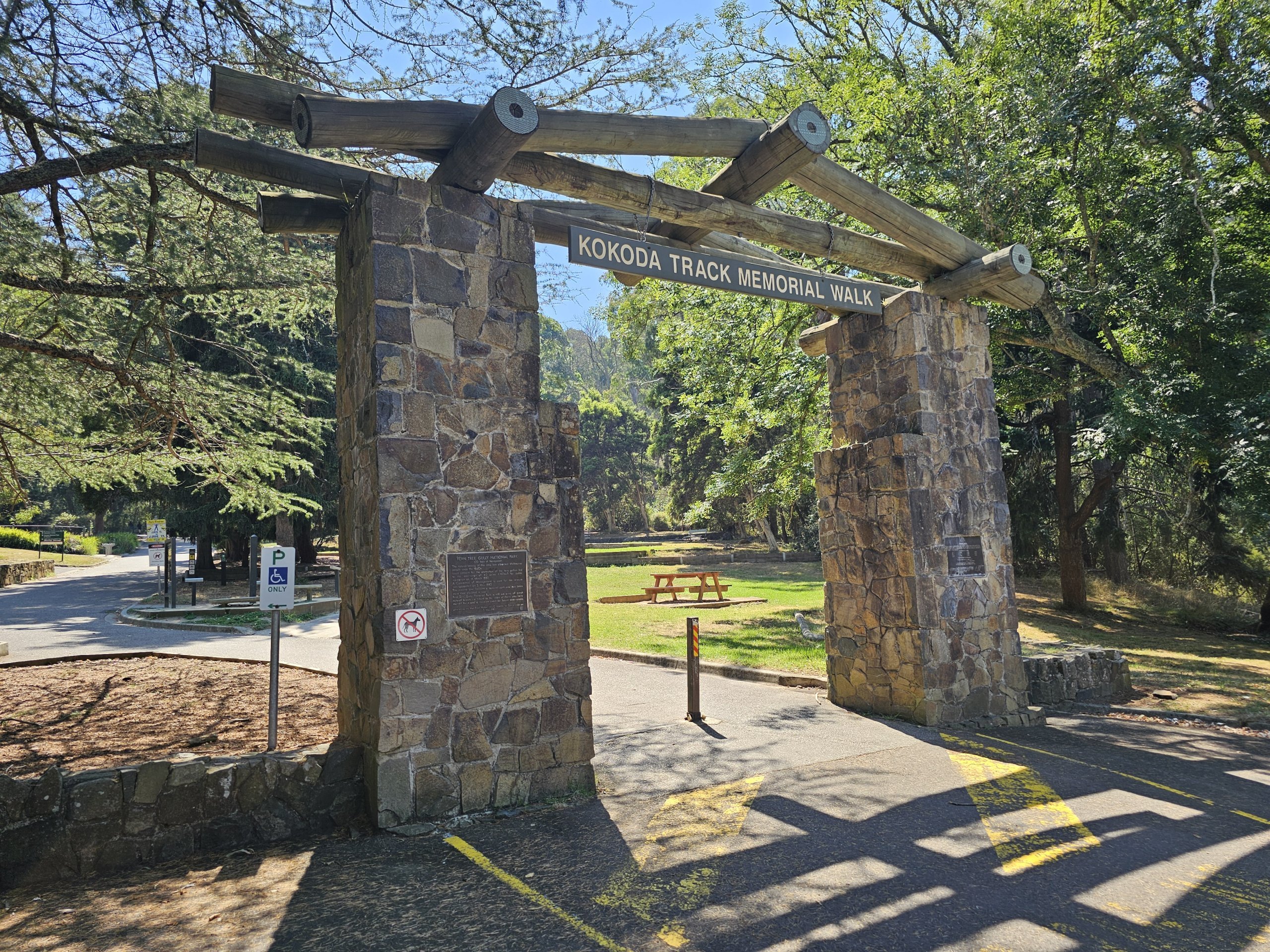
One of the most famous hiking trails in all of Melbourne runs in the southern part of the national park and is part of the so-called Kokoda Track Memorial Walkway.
This trail is a glorious reminder of the Australian troops who fought in Papua New Guinea during World War II.
The 1,000 steps lead through the Ferntree Gully to the wooded One Tree Hill, where there is a picnic area.
Although the trail is short (about 2 km in one direction), the elevation gain is over 325 metres over 1,000 steps.
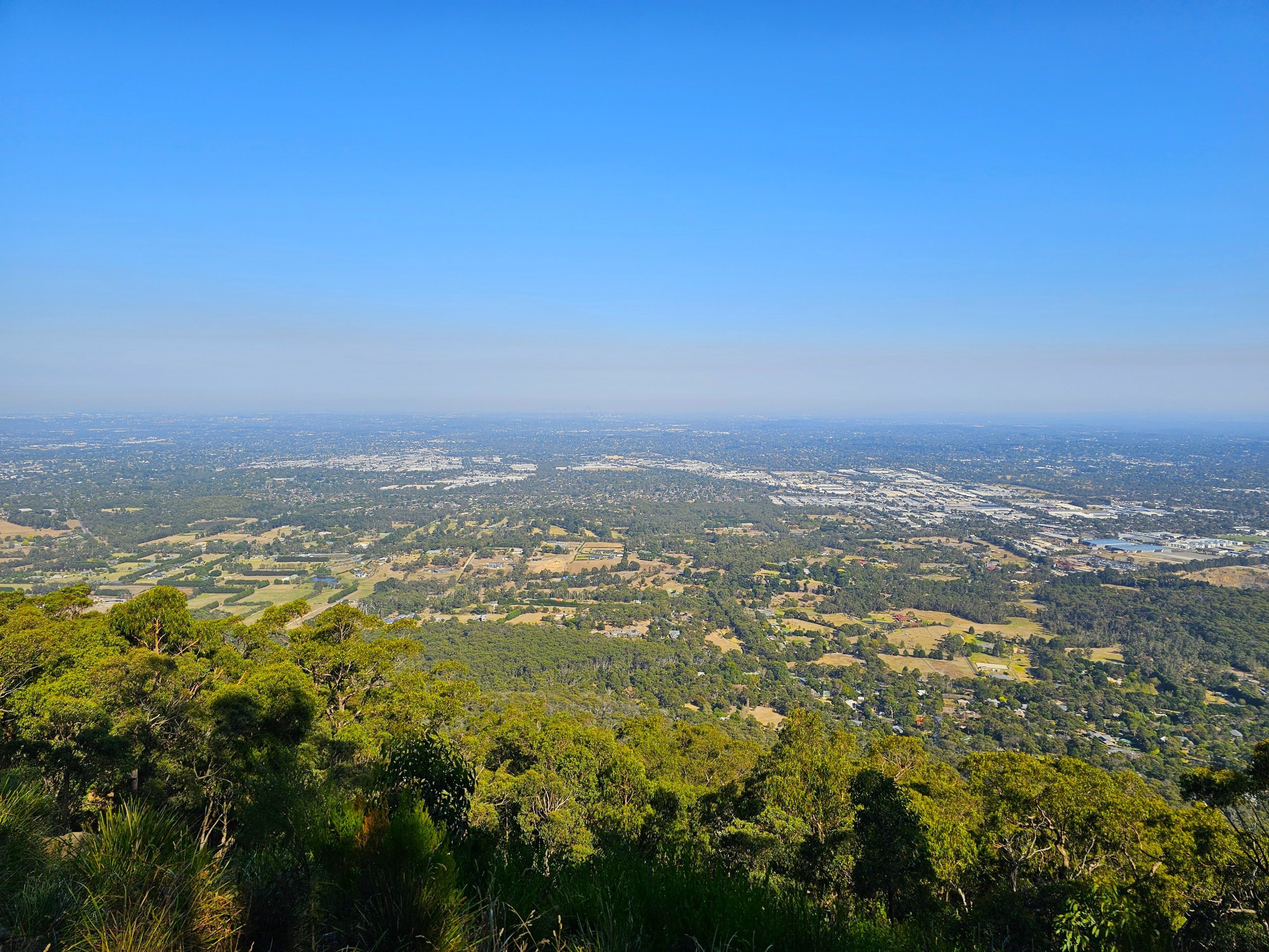
Mount Dandenong
Other hiking trails lead around the highest point of the entire mountain range - the 633-metre Mount Dandenong.
There is a restaurant and a small botanical garden at the top of the hill.
From Mount Dandenong, you can follow the forest with its monumental eucalyptus trees on completely deserted trails to the villages of Olinda or Sassafras with their cafes and restaurants, or continue on to 1,000 Steps (about 16 km from Mount Dandenong).
The trails are not very well signposted, or at each fork there is only the name of the connecting trail. It is therefore a good idea to download offline hiking maps (we have had good experience with mapy.cz).
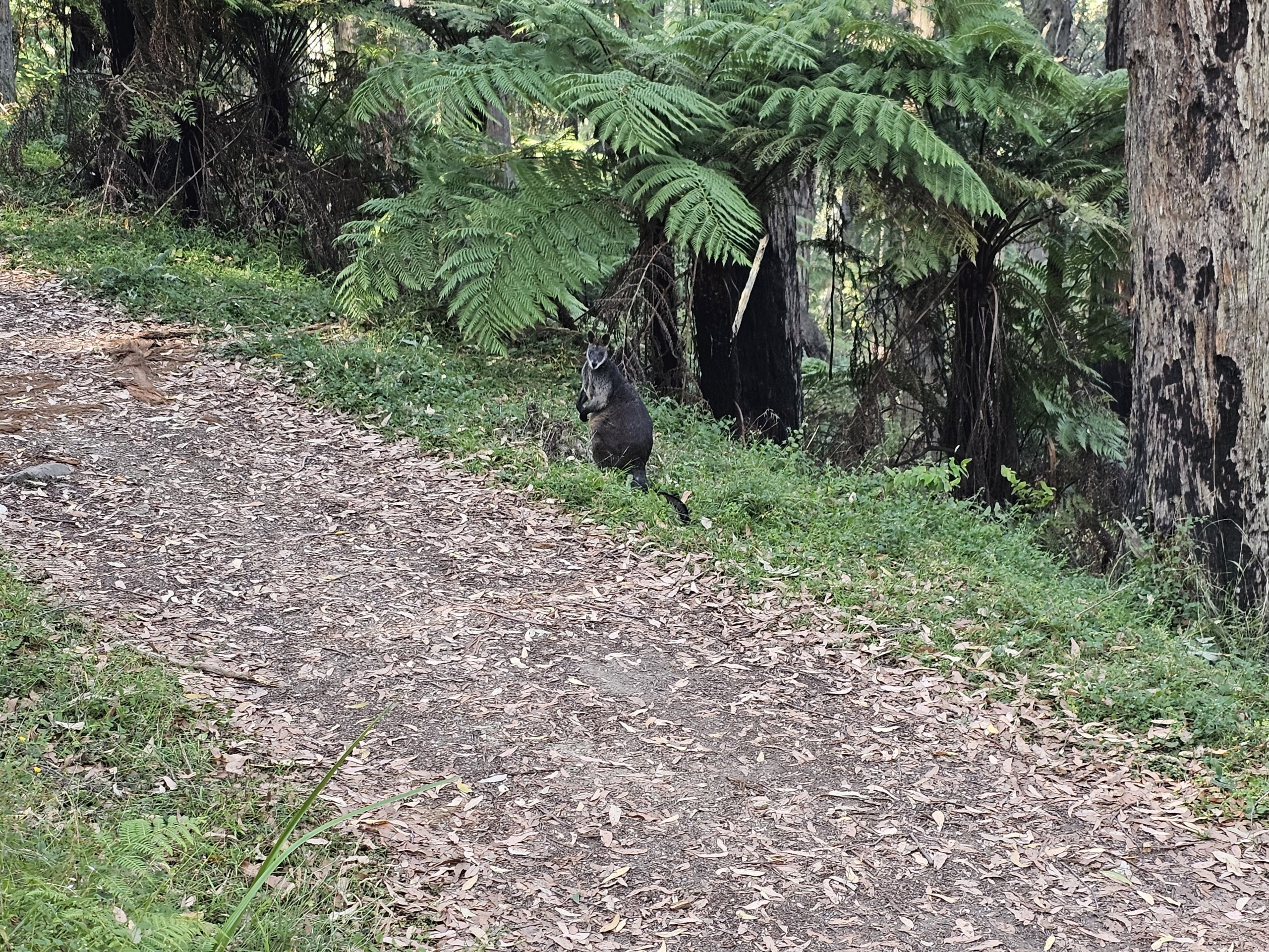
If you're lucky, you'll encounter small forest kangaroos on your way through the dense eucalyptus forests.
Cockatoo parrots are ubiquitous here.
How to get there
The national park is easily accessible from the centre by public transport:
- Dark Blue Belgrave Line train to Upper Ferntree Gully station (southern part of the national park near 1000 Steps).
- from the centre, about 35 minutes drive, frequency is 20-30 minutes
- the 1,000 Steps trail can be reached on foot in about 10-15 minutes
- from the metro station there is bus line 688 to 1 000 Steps, Sassafras, Olinda, Mount Dandenong (stops on the main road about 400 metres from the summit) and Croydon train station
- Lilydale Line dark blue train to Croydon station (northern part of the national park closer to Mount Dandenong)
- from the centre approx. 35 minutes drive, frequency is 20-30 minutes
- From the metro station, bus line 688 runs to 1000 Steps, Sassafras, Olinda, Mount Dandenong (stops on the main Ridge Road about 400 metres from the summit) and Croydon train station
- some services run on the Mount Dandenong Tourist Road which is further from the top of the hill (approx. 1km)
In addition, the 694 bus runs directly to the summit of Mount Dandenong about once an hour from Olinda, Sassafras and the Belgrave train terminus.
Find connections at ptv.vic.gov. au and see the Transport section for more information on getting around the city.
Dandenong Ranges National Park lies within the city limits, so you'll pay the normal fare when travelling here.
What to see around
Discover all the places to see in Melbourne.


Any questions left?
If you have any questions or comments about the article...
