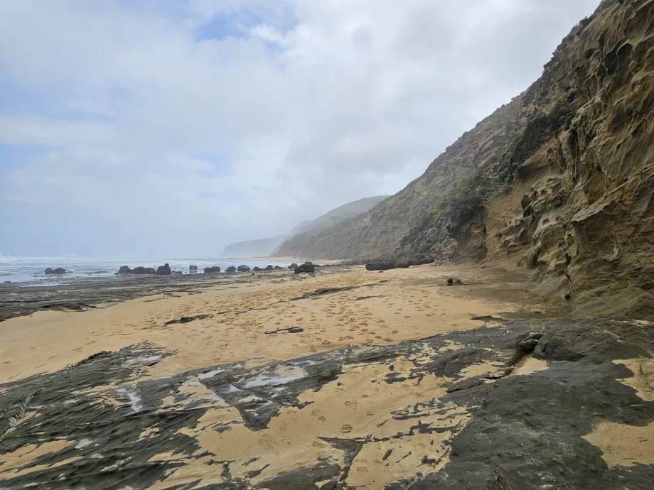
Bay of Islands
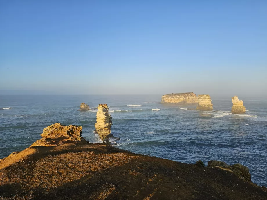
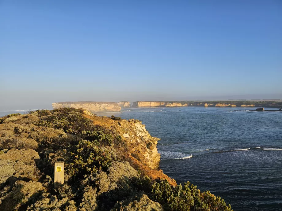
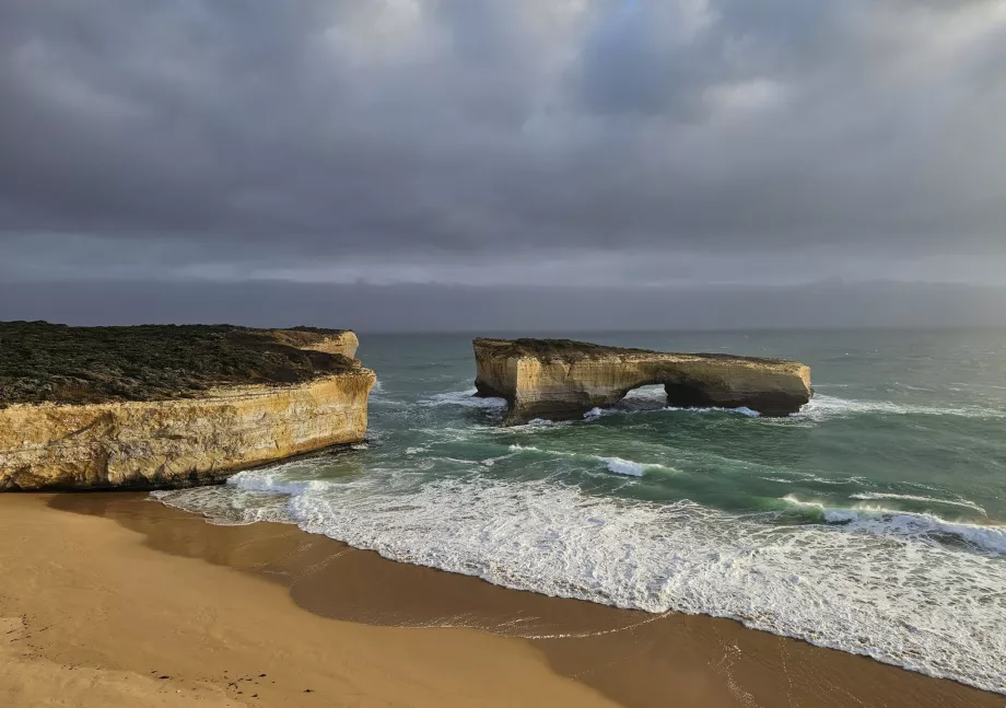
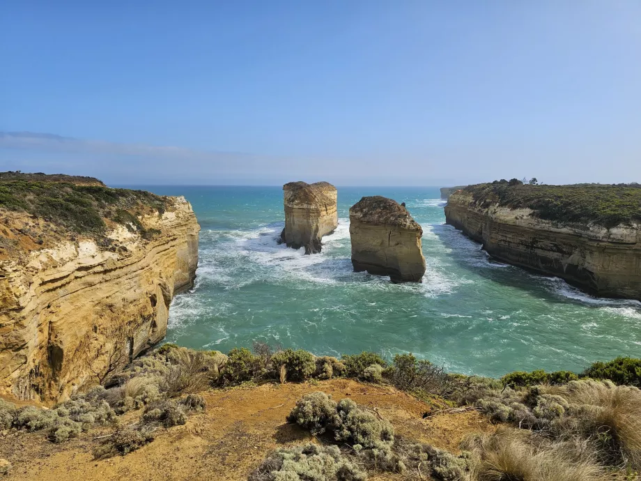
The bay of miniature islands and rocks jutting out of the sea is the last major tourist attraction at the western end of the Great Ocean Road.
The "Bay of Islands" refers to the roughly 10 km stretch of coastline between the city of Peterborough and where the coast road turns inland.
Book your car rental in Melbourne Airport
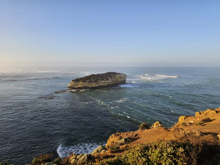
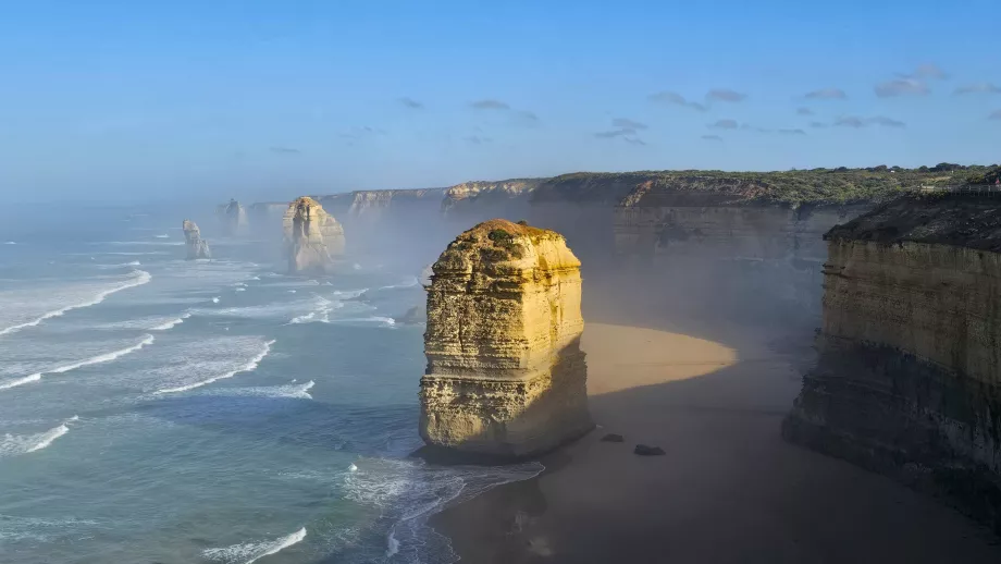
The islets and rocks jutting out of the sea in the Bay of Islands resemble distinctive miniature versions of the iconic 12 Apostles, some 30km away.
Where are the best views?
There are several viewpoints in the Bay of Islands area, all just off the main road.
- The main Bay of Islands viewpoint (location on map) - the best views of the bay with its many rocky headlands
- World's Steepest Boat Ramp (location on map) - similar views to the main viewpoint, plus a short boat launching ramp by the car park, said to be the world's steepest
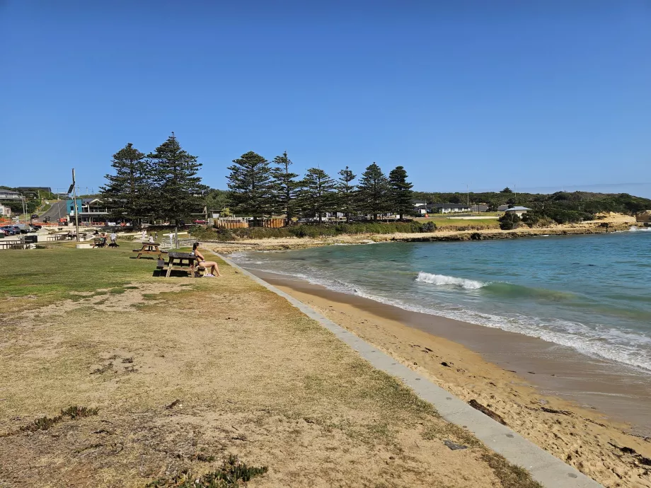
- Bay of Martrys (location on map) - a wide bay with a sandy beach that is very easy to access from the car park
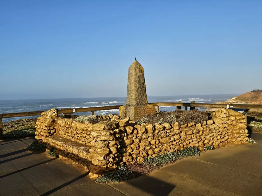
- Peterborough (location on map) - a nice viewpoint in the village of Peterborough near the James Irvine Memorial
There are free car parks at all the viewpoints and they are all located just off the main road.
The V/Line bus service connecting Warrnambool - Port Campbell - Apollo Bay also stops at the main Bay of Islands viewpoint.
The bus only runs 3 times a week, on Mondays, Wednesdays and Fridays, but always stops at the bay for 10 minutes. In this time you can easily walk to the viewpoint and back.
For the current timetable, visit vline.com.au/Timetables.
What to see around
Discover all the places to see in Great Ocean Road.
Any questions left?
If you have any questions or comments about the article...


