Dingli Cliffs
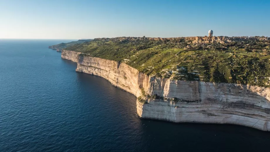
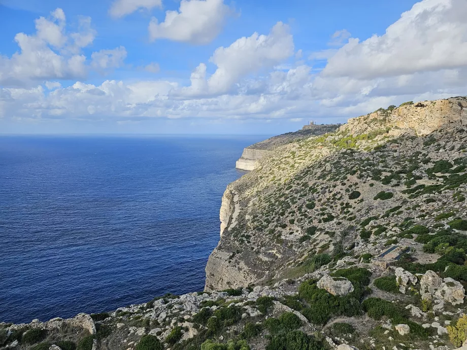
The cliffs of Dingli, near the village of the same name on the west coast of Malta, are one of the most visited natural attractions.
Search for accommodation in Malta
The majestic wall of white cliffs rises perpendicularly from the sea to a height of 253 metres, which also makes it the highest point in the whole country at a place called Ta'Dmejrek.
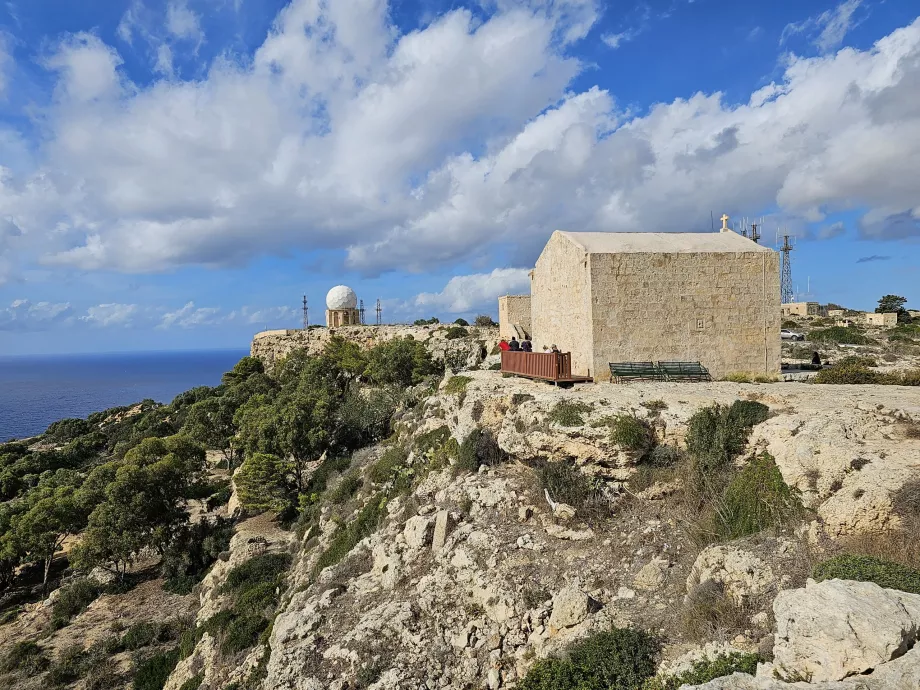
The starting point for short walks along the road is the small chapel of St Mary Magdalene just south of the village of Dingli.
Cliff walks
Looking at hiking maps (e.g. en.mapy.cz), it may seem that there are many hiking trails along the cliffs of Dingli.
However, the reality is different and most of the routes are along the road.
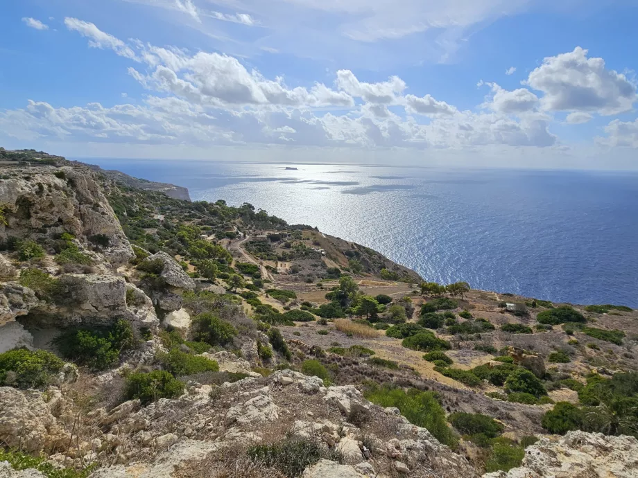
The best walk with a view of the cliffs can be taken at a small promontory about 1 km south of the Chapel of St. Mary Magdalene (location on en.mapy.cz) or near the radar station (location on en.mapy.cz).
Prepare for breathtaking views of the Mediterranean Sea, small fields dropping steeply down and above all breathtaking sunsets.
Boat cruises around the cliffs
The most spectacular view of the Dingli cliffs, however, is from a boat.
As there is no major town on the entire west coast, boat trips to the Dingli cliffs are usually organised from Valletta or the resorts on the other side of the island. They are usually part of day trips around the island of Malta and Comino.
Prices for cruises range between 55 eur and 65 eur. You can book cruises on the websites of these companies, for example.
How to get there
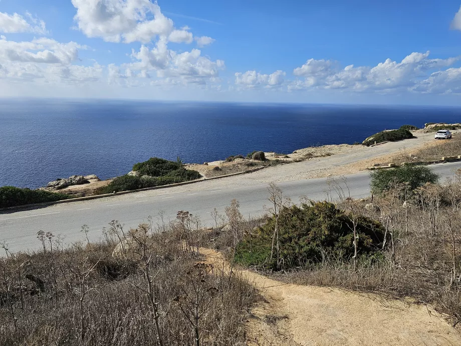
The Triq Panoramika road runs along the entire cliffs, which stretch for more than 3 km, and can be reached in 30 minutes by car from Valletta.
By car
There are small improvised free car parks all along the road. The largest parking lot is at the Chapel of St. Mary Magdalene (location on google.com/maps), where several snack and souvenir stalls also operate.
The cliffs are signposted at all junctions in the wider area and appear in all known sat navs.
By bus
The 201 bus service also runs hourly along the road along the cliffs.
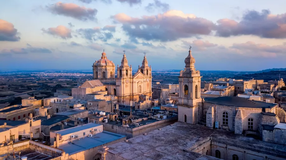
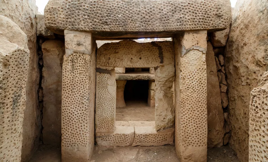
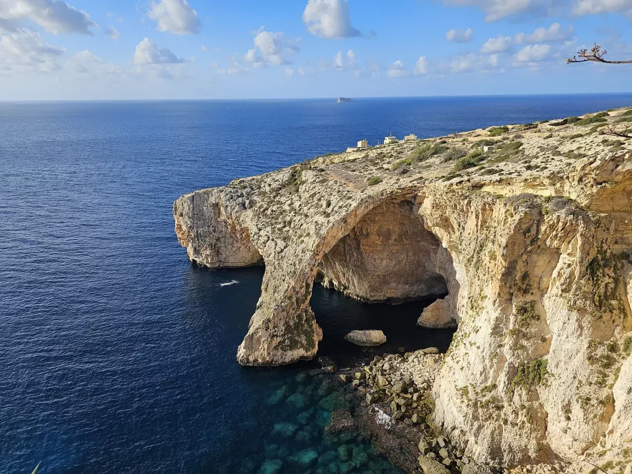
It runs from the historic town of Mdina to the airport and also stops along the way at the village of Siggiewi, the megalithic temple complex of Hagar Qim and the Blue Grotto cave. At either end, in Mdina and at the airport, you can then change to other bus lines running throughout Malta.
For ticket prices and more information about buses in Malta, see the Transport chapter.
What to see around
Discover all the places to see in Malta.
Any questions left?
If you have any questions or comments about the article...


