Levada Caldeirão Verde
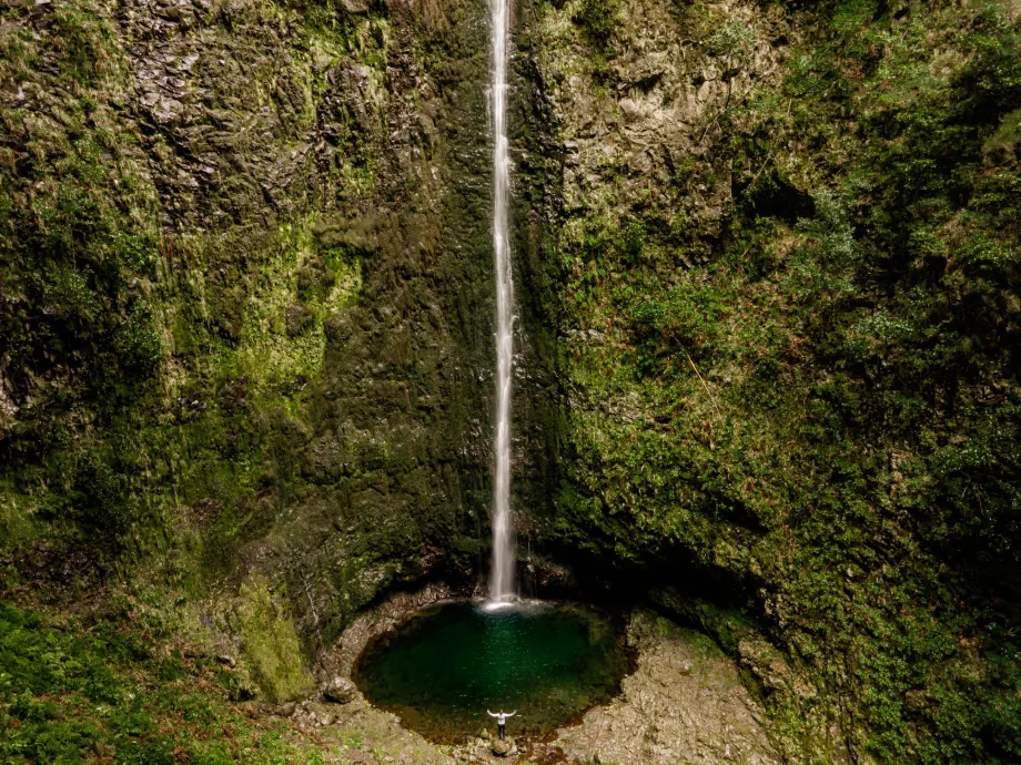
If you want to get to know the real Madeira and its pure native nature, a hike along the Caldeirão Verde trail, which follows the short Caldeirão do Inferno trail, is almost a must.
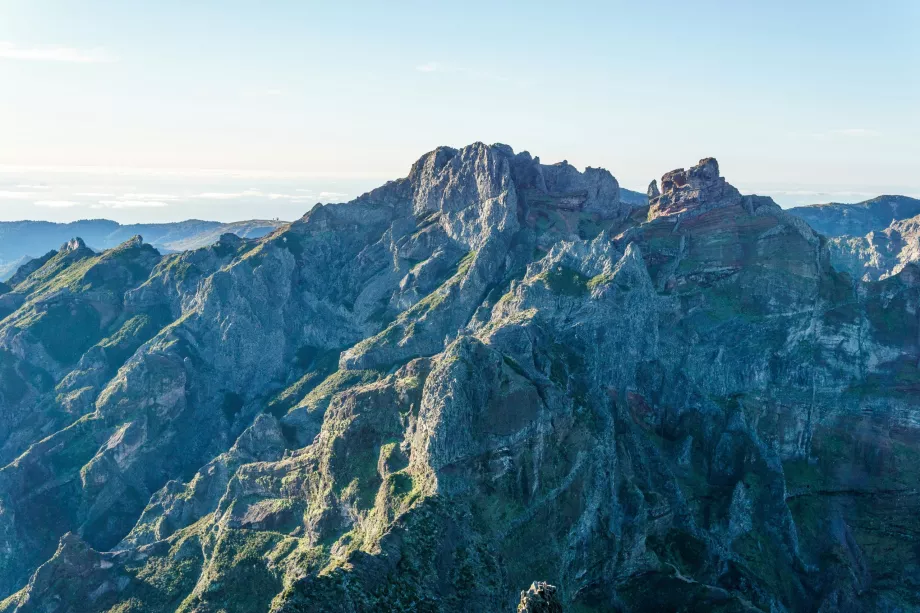
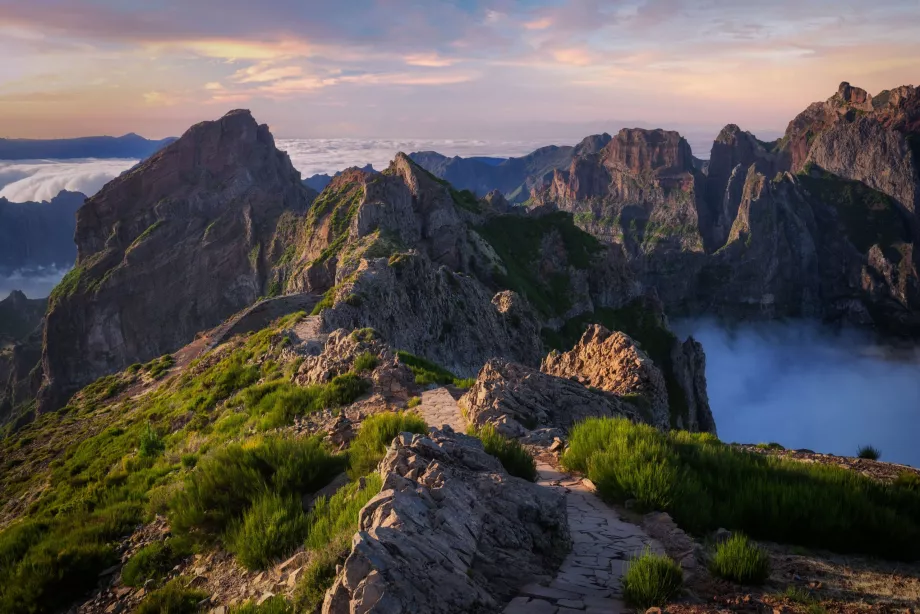
You will trek through the magical landscape of the northern slopes of Madeira's highest mountains, all the time at altitudes between 800 and 1,220 metres.
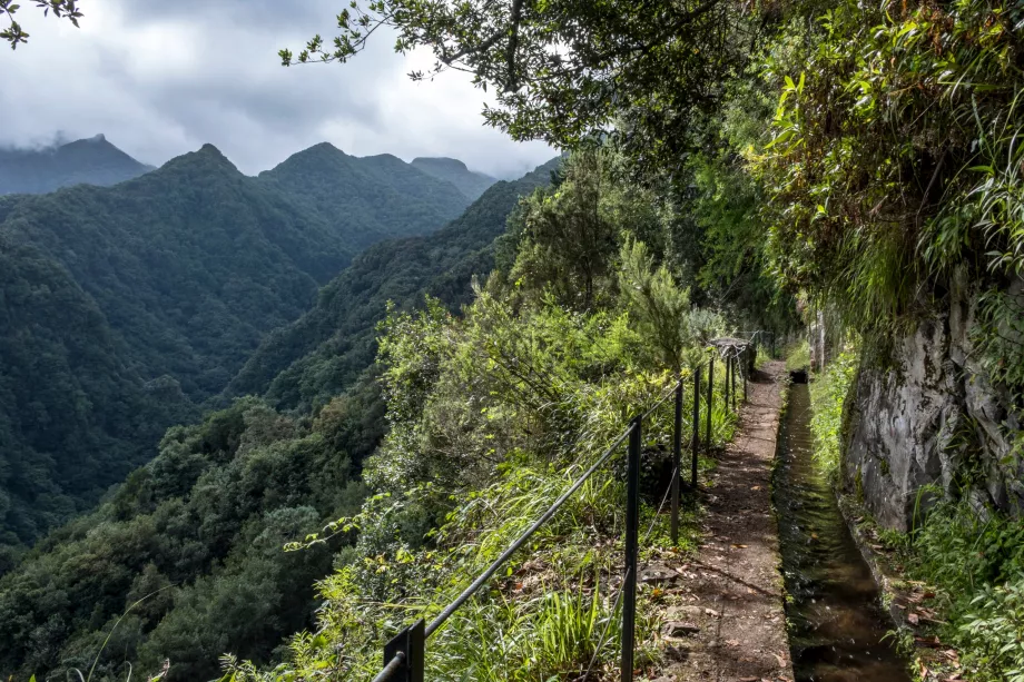
The trail also runs along an irrigation canal throughout, quite wide at first but very narrow in places. There are no downright dangerous spots on the trail, however, a headlamp or flashlight is a must, as the levée crosses the shorter tunnels several times.
Entrance to the trail is paid and costs 3 eur and must be booked online at simplifica.madeira.gov.pt.
Compare car rental prices - FNC airport
The road passes through dense mixed and native laurel forests, and the reward at the end of the route will be breathtaking natural "cauldrons" - circular valleys with almost perpendicular rock faces, with only narrow ravines with lava tubes leading into them and small waterfalls falling into them, creating idyllic pools. Most tourists end their trip at the first of the "cauldrons" - Caldeirão Verde.
However, it would be a mistake to give up and not continue on to Caldeirão do Inferno, which is even more magical partly because few tourists reach it.
However, the path between these two cauldrons is a little more difficult and less well signposted. Especially after a short climb up the stairs, there is a bit of a confusing fork with three tunnels. The tunnel on the left leads nowhere, straight ahead you would go through a 2.5 km long tunnel under Madeira's highest mountain and on the right is a short tunnel just to Caldeirão do Inferno.
How to get there
Most guidebooks and maps list the start of the route in the village of Pico das Pedras on the road leading to the highest mountain, Pico Ruivo.
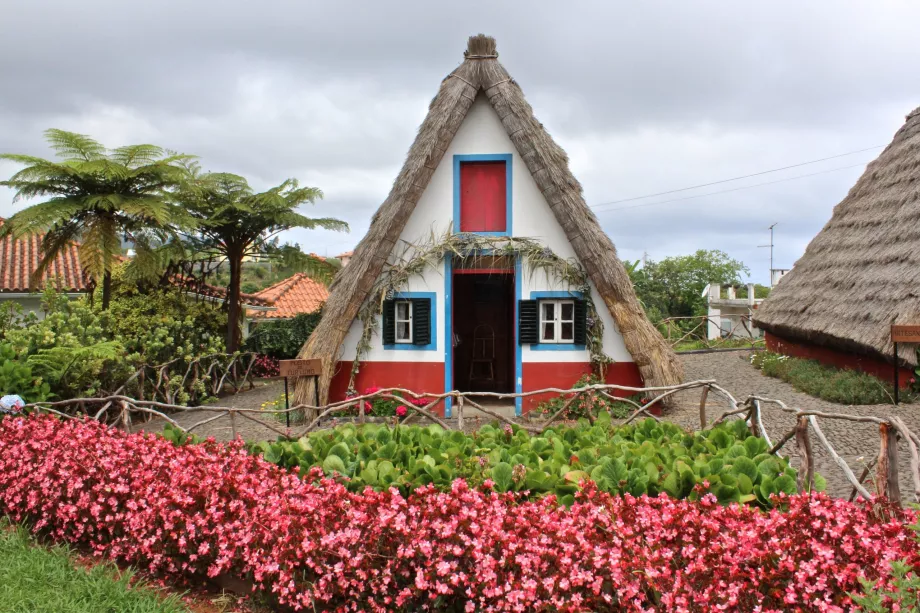
However, you'll be wasting your energy on the 3.5km-plus stretch of not-so-exciting road. Better to start at Casa das Queimadas, a beautiful thatched-roof country house with a small parking area.
The earlier you arrive here in the morning, the more likely you are to park comfortably. The tarmac road here leads from the town of Santana and is not very well signposted. So study the route map from Santana to the parking lot of Casa das Queimadas well before you go.
Route parameters
First, prepare a flashlight or headlamp. You will pass through several shorter unlit tunnels (the height is always over 2.5 meters and you will comfortably avoid oncoming traffic).
Secondly, expect that in the wetter season the lava may be slightly waterlogged and you will be faced with fords - so waterproof shoes are highly advisable.
Casa das Queimadas - Caldeirão Verde
- Distance - 6 km one way
- Time - approx. 2 hours there + 2 hours back
- Difficulty - medium (mainly due to the greater distance)
- Route map
Caldeirão Verde - Caldeirão do Inferno section
- Distance - 2.5 km one way
- Time - approx. 1 hour there + 1 hour back
- Difficulty - high (risk of exhaustion from the previous long route)
- Route map
What to see around
Discover all the places to see in Madeira.
Any questions left?
If you have any questions or comments about the article...

