Monte Rotondo
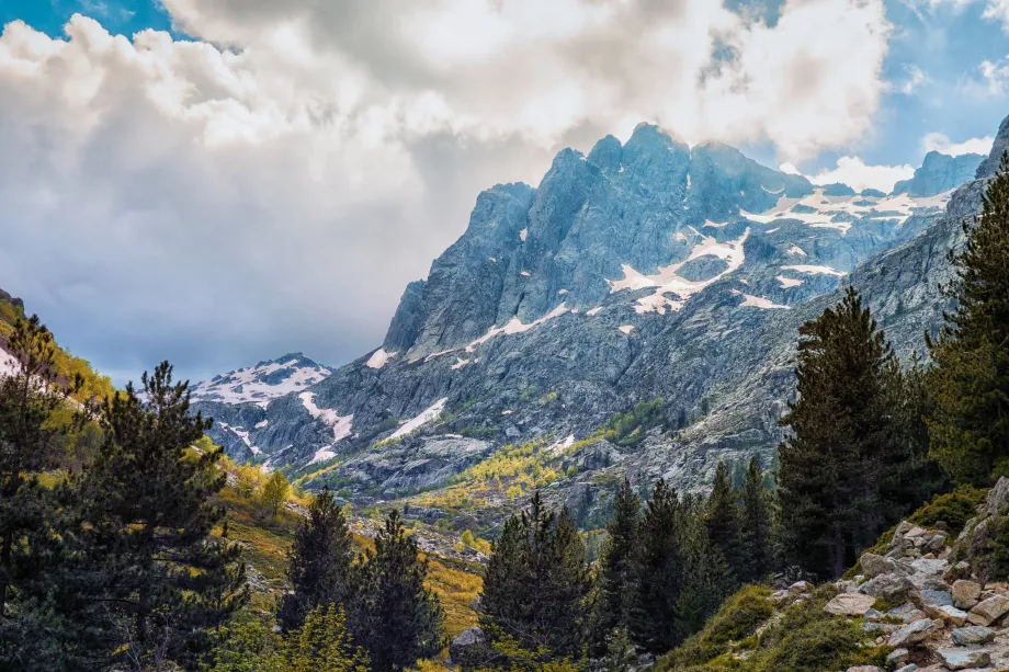
At 2,622 metres, Monte Rotondo is the second highest mountain in Corsica and is only 84 metres behind Monte Cinto. According to many tourists, Mount Rotondo offers the most beautiful views of any mountain in Corsica.
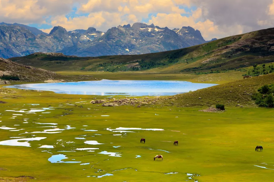
As far as the eye can see, the seemingly endless Corsican mountains appear below you as you look out from the summit, but in good weather you can see the coastline and the sea clearly to the west and east.
Hike up Monte Rotondo
The mountain can be climbed from three sides. The ascent from the west from Lac de Melu is the most difficult and the whole climb is virtually unmarked. The ascent from the south is also very difficult and particularly long: from the nearest car park near Cascade de Anglais, you walk almost 20 km one way along the GR-20.
The easiest ascent from the north is from the Restonica valley, which we will describe in more detail.
The marked trail splits off from the road winding through the Restonica Valley, but you can't park in the immediate area.
The nearest parking lot is about 700 meters down near the bridge over the river (see exact location on map). Follow the road for 700 metres, the forest path starts steeply up on your left.
The car park can also be reached by the C13 shuttle bus from Corte at 4 eur: isula.corsica/Navetta-Restonica-C13.
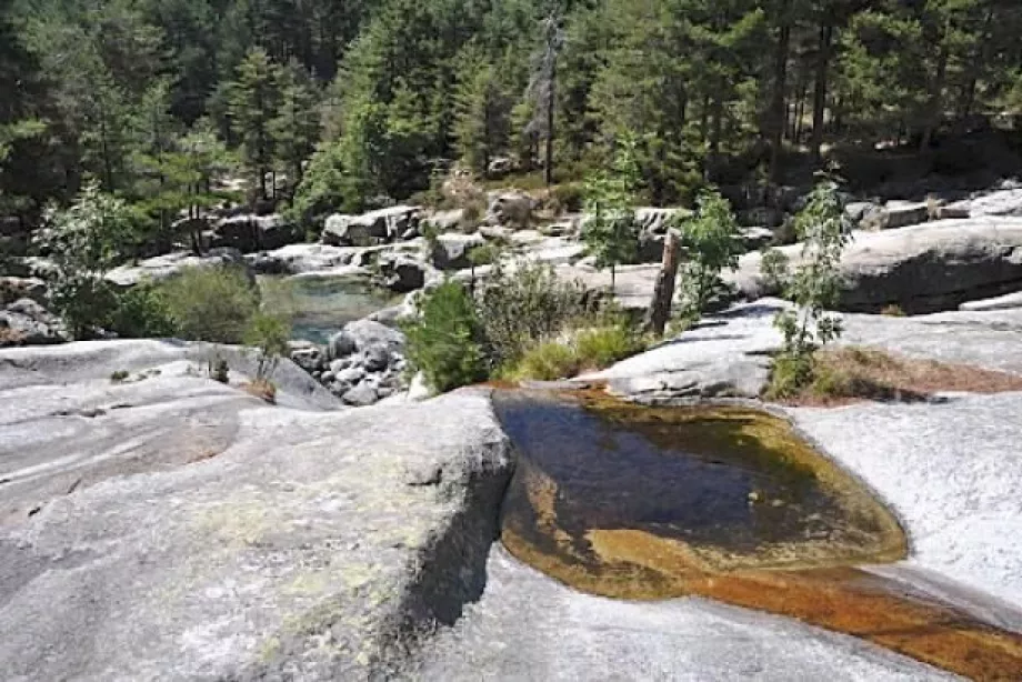
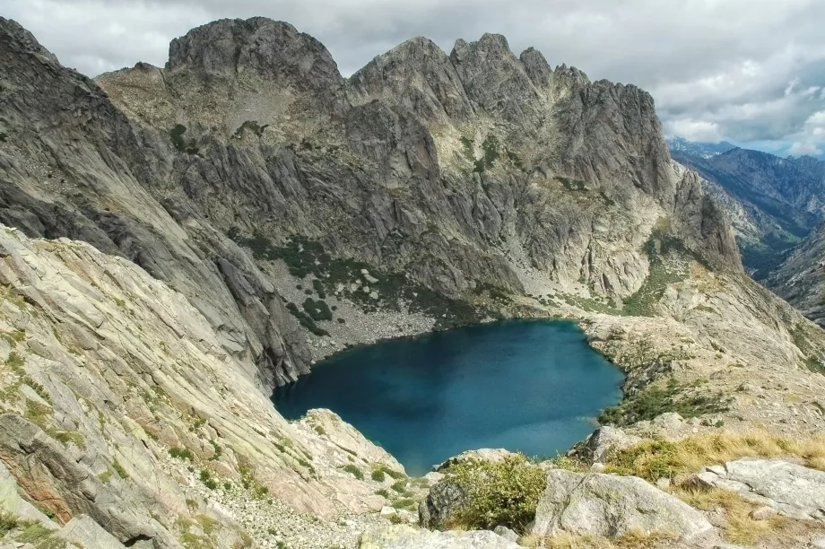
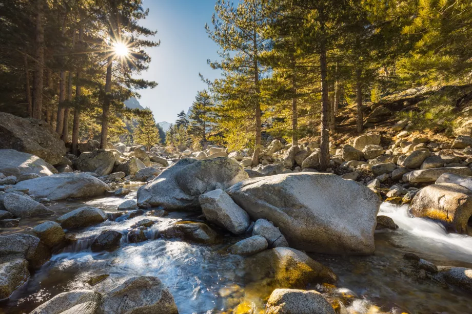
The hike is steep right from the start, but relatively easy and follows a beautiful path, first through pine forests, then through the pastures of the Timozzu shepherd. After about 3 hours, you will reach the Lac de l'Oriente, where you will have a pleasant refreshment. From the lake, you will have a challenging and steep final climb up a ridge of rocky scree, which is often mixed with the remnants of snow until mid-July. Expect about 2 to 2.5 hours of walking.
You won't need mountaineering skills here, but training from the rigors of mountain walking is essential, and untrained individuals should end their journey at Lake Oriente.
- Total length of the route there and back: 13.5 km
- Altitude: 1,629 metres one way
- Time (trained hiker): approx. 10 hours round trip
- Route map
Accommodation
The nearest option for an official overnight stay outside the shire is Camping du Turani in the Restonica Valley, about 5 km from the start of the route. Then look for regular hotels or guesthouses in the town of Corte at the start of the Restonica Valley.
What to see around
Discover all the places to see in Corsica.
Any questions left?
If you have any questions or comments about the article...

