Map and geography of Antigua and Barbuda

Want to find out where Antigua and Barbuda is on the map and its location before you travel? What does a road map of Antigua look like or where to find resorts and other interesting places to see? Take a look at the Antigua and Barbuda island maps we've prepared for you.
Location of Antigua and Barbuda
Antigua and Barbuda is an archipelago located in the northern Caribbean Sea and is part of the Leeward Islands. The country consists of 3 main islands.
The island lies approximately 80 km north of Guadeloupe and 65 km east of St. Kitts.
Maps of tourist attractions
Where can you find the best beaches on Antigua or interesting sights? Simply take a look at our map of top tourist spots:
- Map of interesting places to see in Antigua
If you're planning on hiking or biking, the online hiking trail maps will come in handy, and of course there's no shortage of accommodation and hotel maps:
Online map - Antigua and Barbuda
Geography
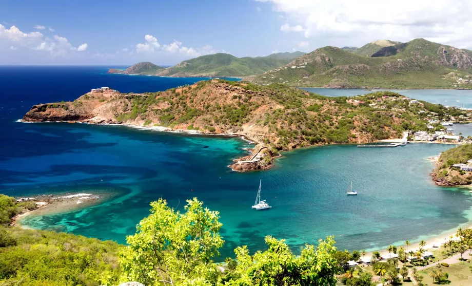
Antigua and Barbuda is located in the Lesser Antilles and consists of three islands, the largest of which is Antigua. Further north about 50 km we find Barbuda and to the west the uninhabited Redonda. The coastline of Antigua is made up of a large number of bays and coves, which form exceptionally beautiful white sand beaches.
- The island of Antigua - 281 km2, 96,000 inhabitants
- Island of Barbuda - 161 km2, 1 700 inhabitants
- Redonda Island - 0.8 km2, uninhabited
Overall, the island is mostly undulating photogenic hills except for the north and northeast, which are flat. The south-west of the island is the most hilly.
The highest peak is Boggy Peak (402 m above sea level).
Barbuda is flat with the highest point at 45 m above sea level, of coral origin, with beautiful pink sand (in autumn). The island of Barbuda is a true paradise for travellers who prefer peace and relaxation also for ornithologists who will be delighted by the endemics in the vast Codrington Lagoon.
Any questions left?
If you have any questions or comments about the article...

