

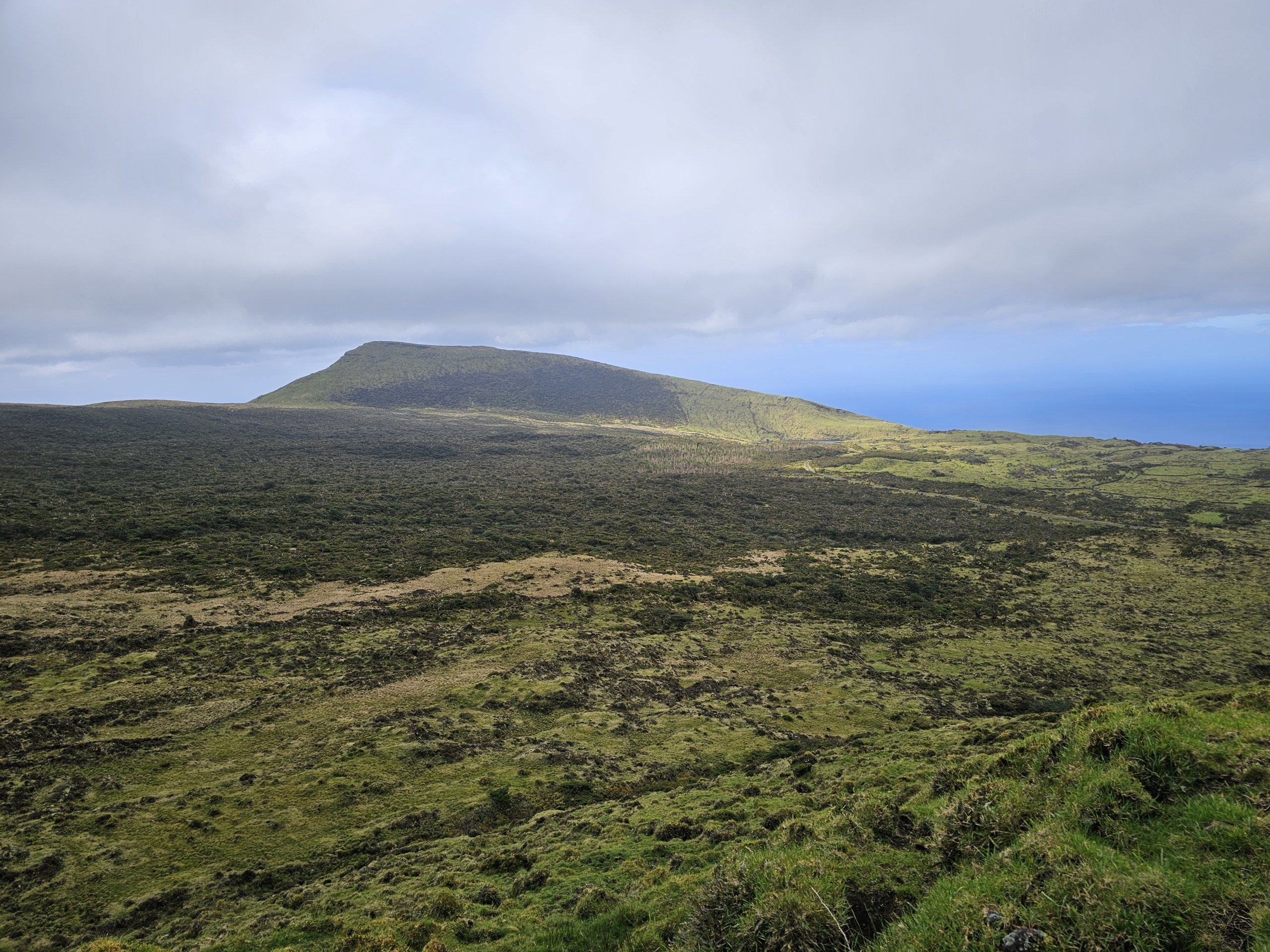
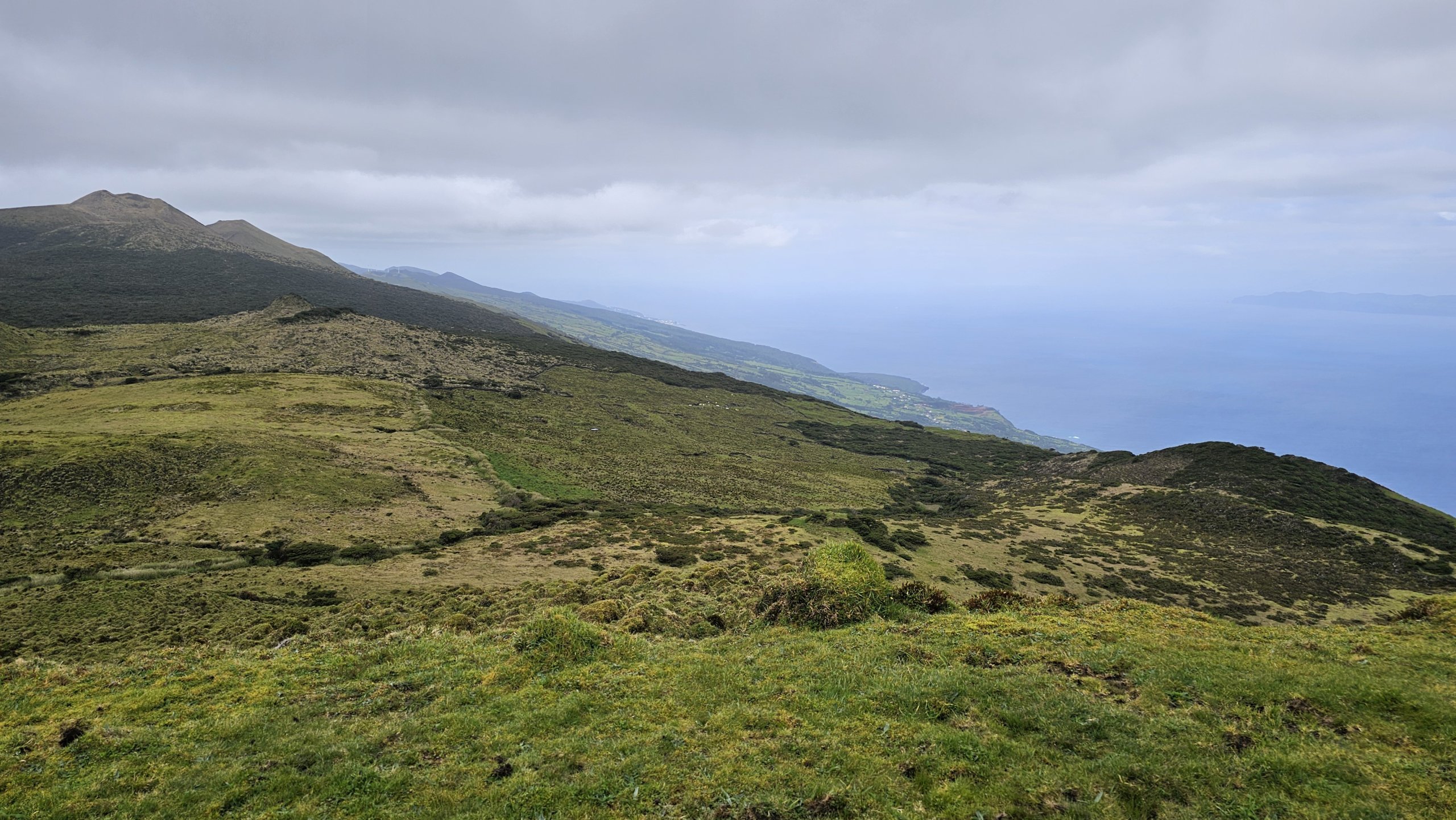
Although from a distance it appears that Pico Island is dominated by a single, enormous mountain, in fact the entire centre of the island is mountainous all the way to the very eastern end.
And this mountain range is made up of not just any hills, but mountains reaching heights of over 1,000 metres above sea level.
The centre of the island is completely orphaned, uninhabited and with very harsh climatic conditions. However, even the high ground is dotted with the ubiquitous cow pastures, so you won't be completely alone.
The 10 best accommodations on Pico
An endless chain of volcanic lagoons
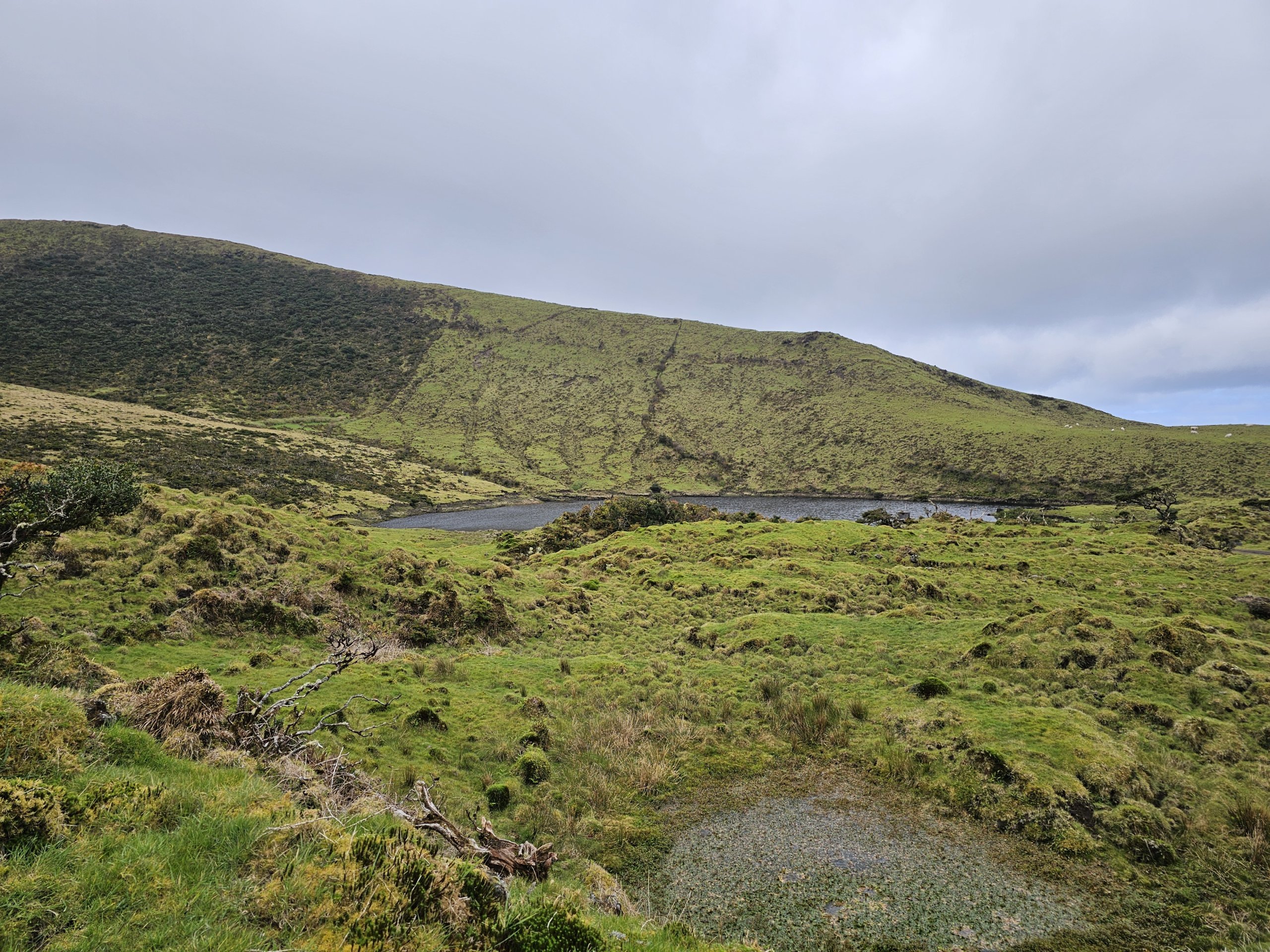
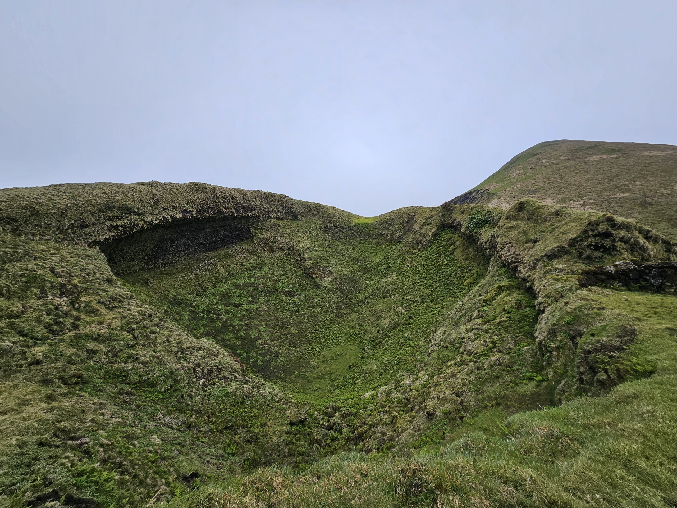
The mountain ridge, over 20km long, is made up of former volcanoes whose craters are now filled with larger or smaller lakes.
On the mountain tops you will find over 40 lagoons of different shapes. Some are visible directly from the road, others are not accessible at all.
Take the Estrada Transversal
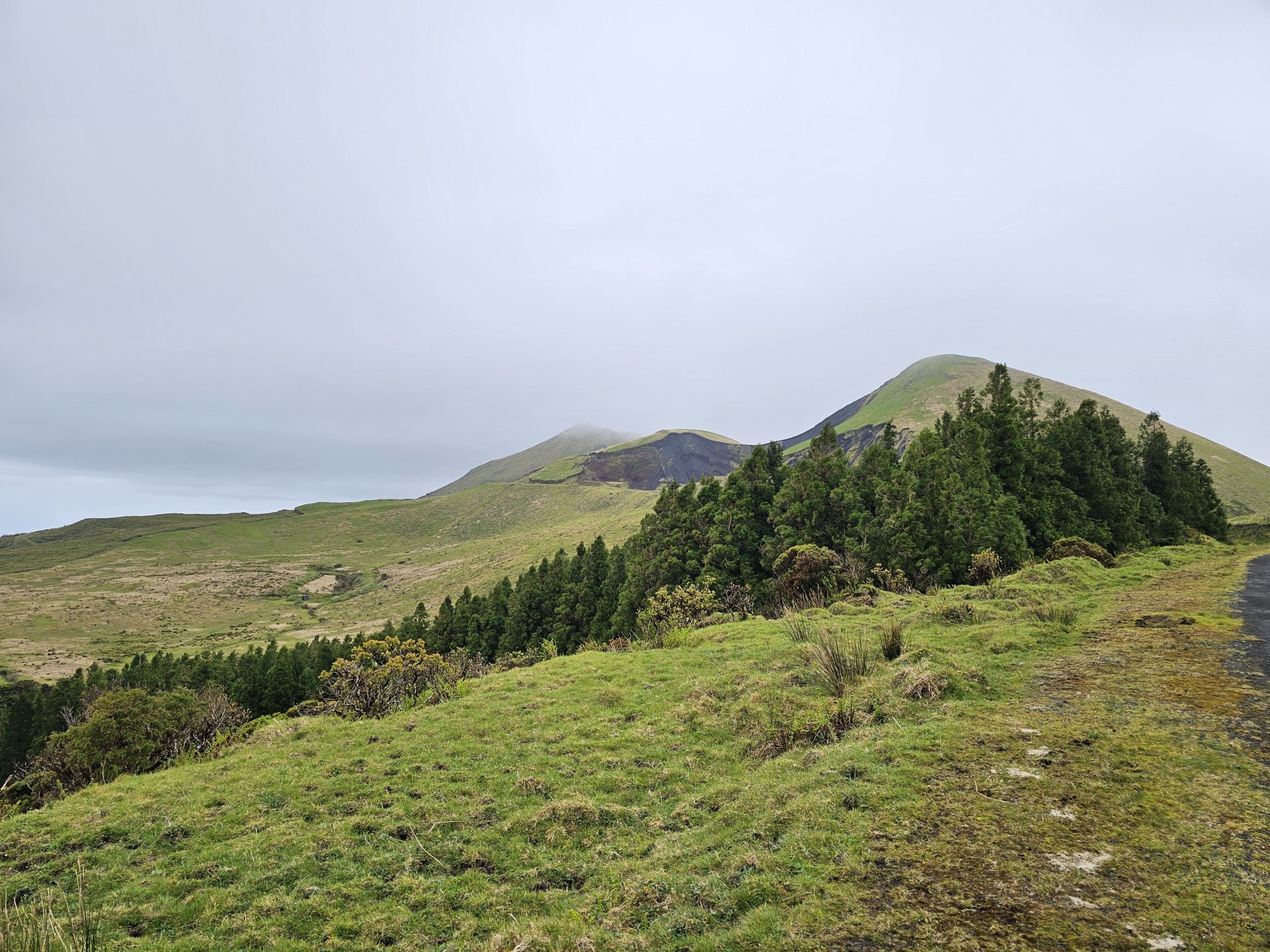
Between the mountain peaks and the lagoons winds an asphalt road called the "Estrada Transversal". This name is used especially if you drive to the central part of Pico.
The road is passable for all types of cars, but you must expect frequent potholes, curves and very steep sections. Caution! Do not turn off the main road onto other secondary roads, for example towards the town of Piedade. These sections are impassable for normal cars, although at first glance they look similar to the main "Estrada Transversal".
View a map of the most passable route.
If you walk, there is a marked hiking trail called "Caminho das Lagoas" along the entire road.
Although the hiking trail follows the road the whole time, traffic is very sparse. On average you will see 4-5 cars of tourists and 1-2 cars of local farmers per hour.


Day hike along Caminho das Lagoas
Caminho das Lagoas is part of the marked trail number PR19PIC, which leads from the town of Ribeirinha to a road junction right in the middle of the island. To get back to civilisation, you must continue along the marked PR2PIC or PR13PIC trails to the town of Sao Roque.
In total, the road is approximately 30 km long and takes between 8-10 hours to complete due to the high altitude.
However, as the path is on the road the whole time, it is doable without major problems even for moderately trained travellers.
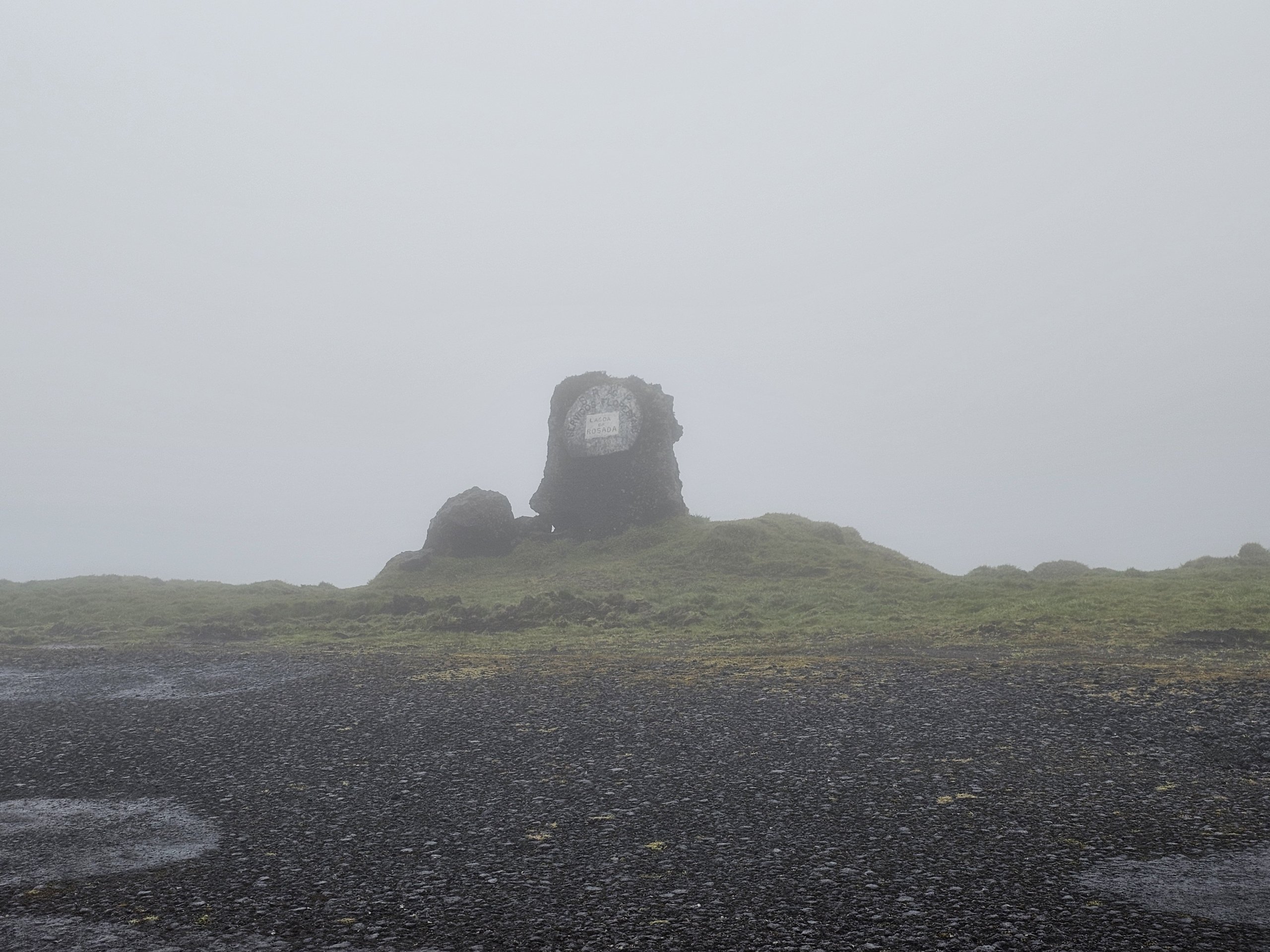
Kingdom of clouds and fog
Due to the unique shape of Pico Island, it is on the central mountain range that wind currents clash almost every day, crashing into the mountains and creating constant bad weather.
There are really only a few days of sunshine a month on Caminho das Lagoas, and you're much more likely to encounter dense fog where you can't see more than 50 metres.
If the clouds rise to at least over 850 metres, it's enough to enjoy some nice views, albeit often with rain.
What to see around
Discover all the places to see in Pico.
