

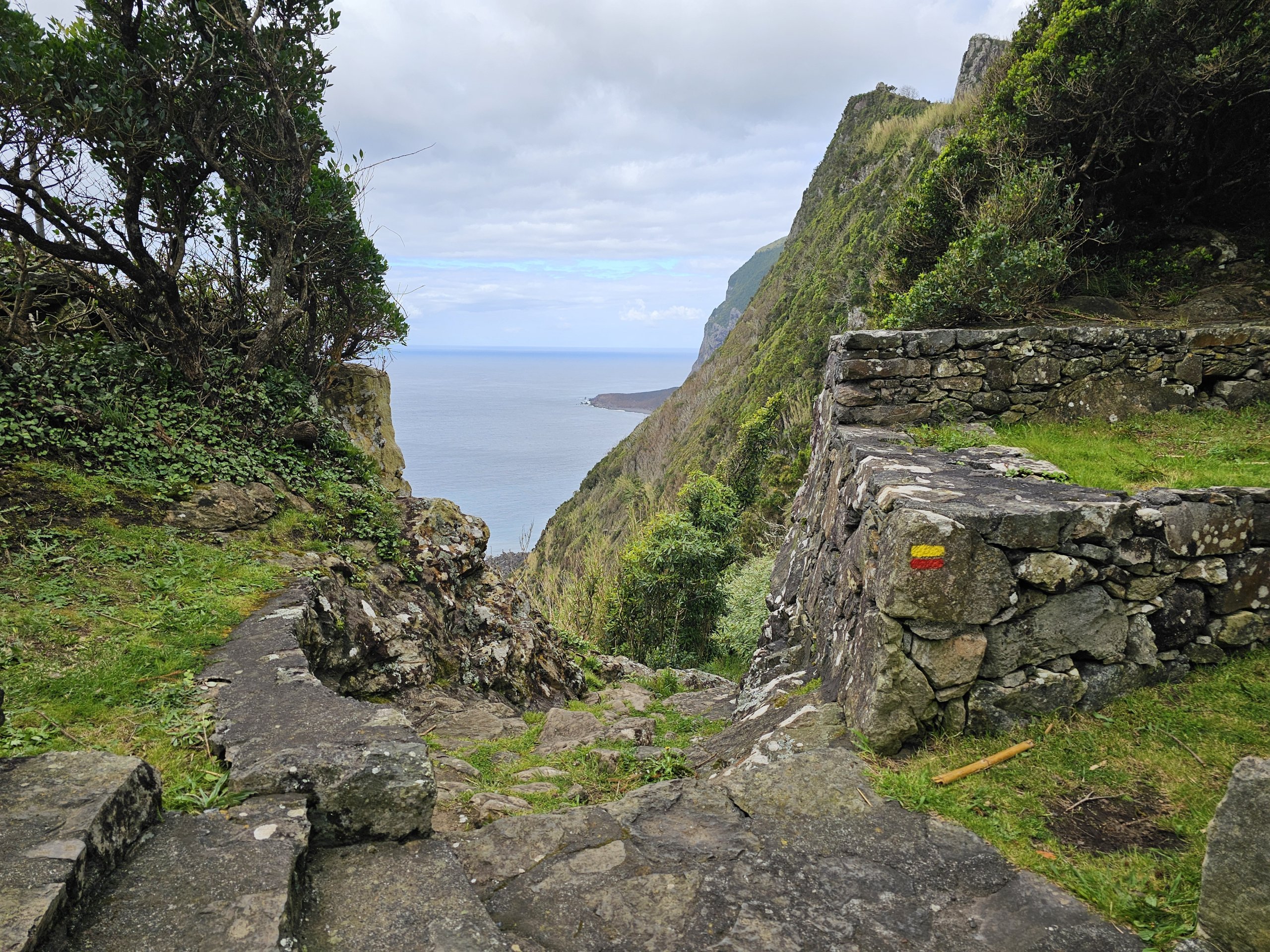
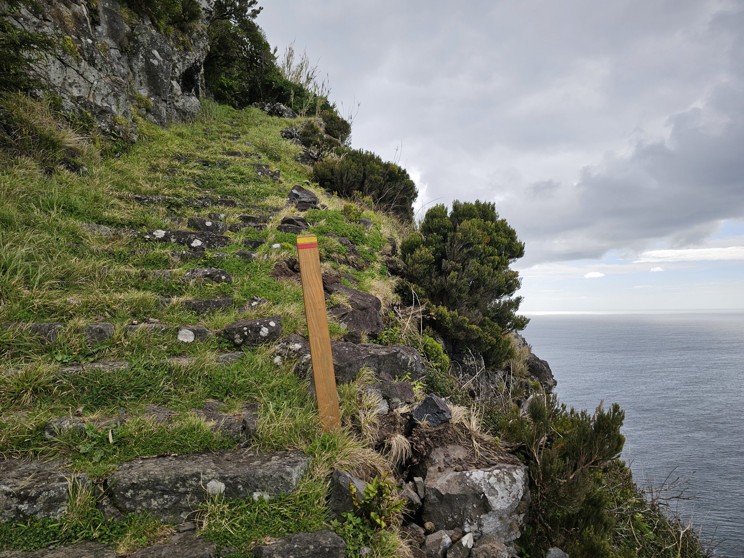
The beautiful marked PR4FLO trail takes you along the edge of the cliffs from the outskirts of Lajes to the settlement of Fajã de Lopo Vaz.
A few houses with fields and beaches with giant volcanic rocks are literally locked on a tiny piece of flat land under more than 400 meters high rocky cliffs.
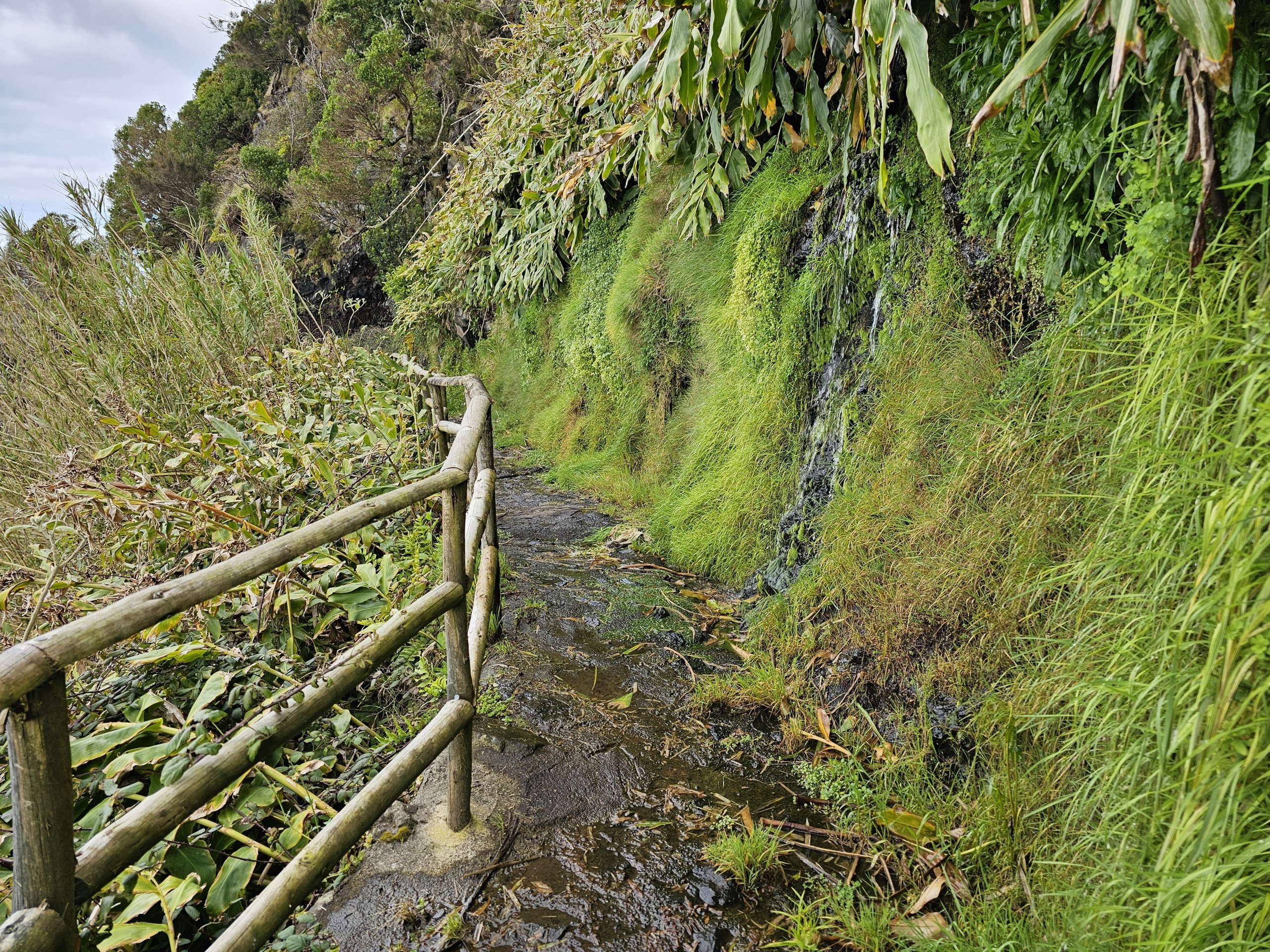
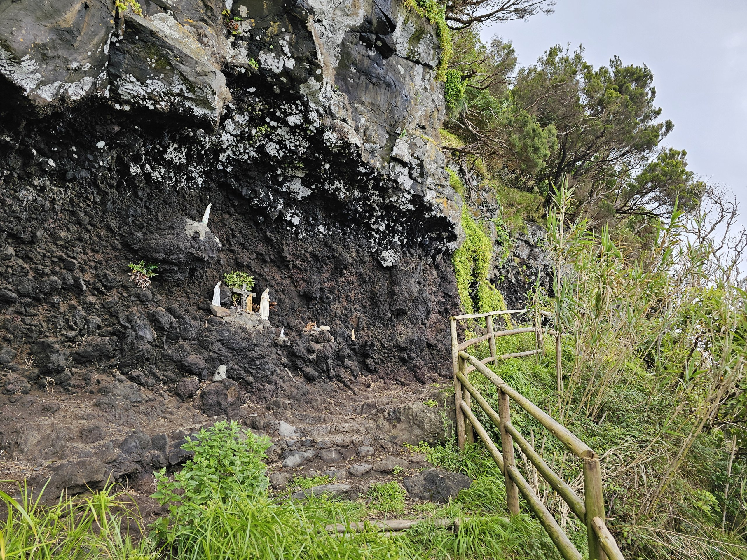
The only access is on foot along a fairly comfortable, if steep, path.
Find the best accommodation in Flores
How challenging is the trail?
The marked trail to Fajã de Lopo Vaz starts about 1km west of Lajes town centre at the end of a tarmac road, where there is parking for about 15 cars.
The trail runs along the cliff, which descends in serpentine steps and carved steps all the way down to sea level.
The total elevation gain is around 200 metres, as the path does not start at the top of the cliffs. You have to go back the same way, which is a total of 3.5 km round trip from the car park.
Despite the considerable elevation gain, even less trained travellers can manage the journey to Fajã de Lopo Vaz by slow walking. The trail is safe and covered with railings in several places.
What to see around
Discover all the places to see in Flores.


